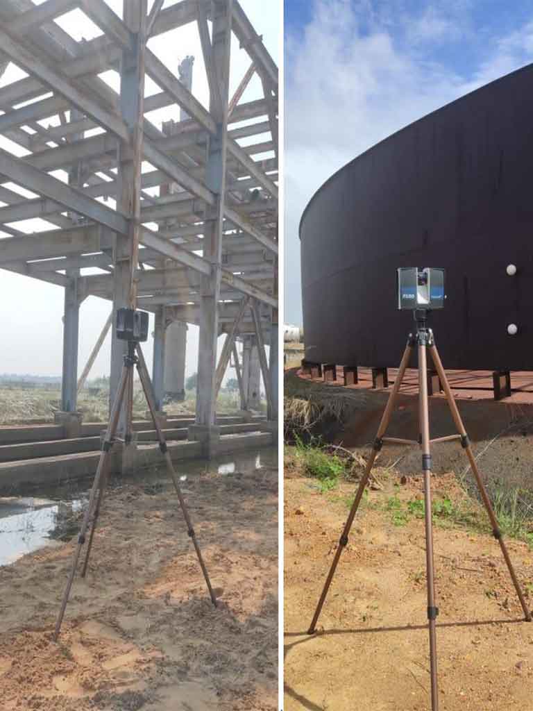
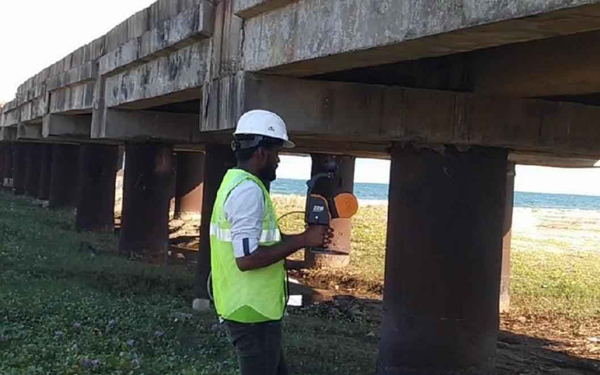
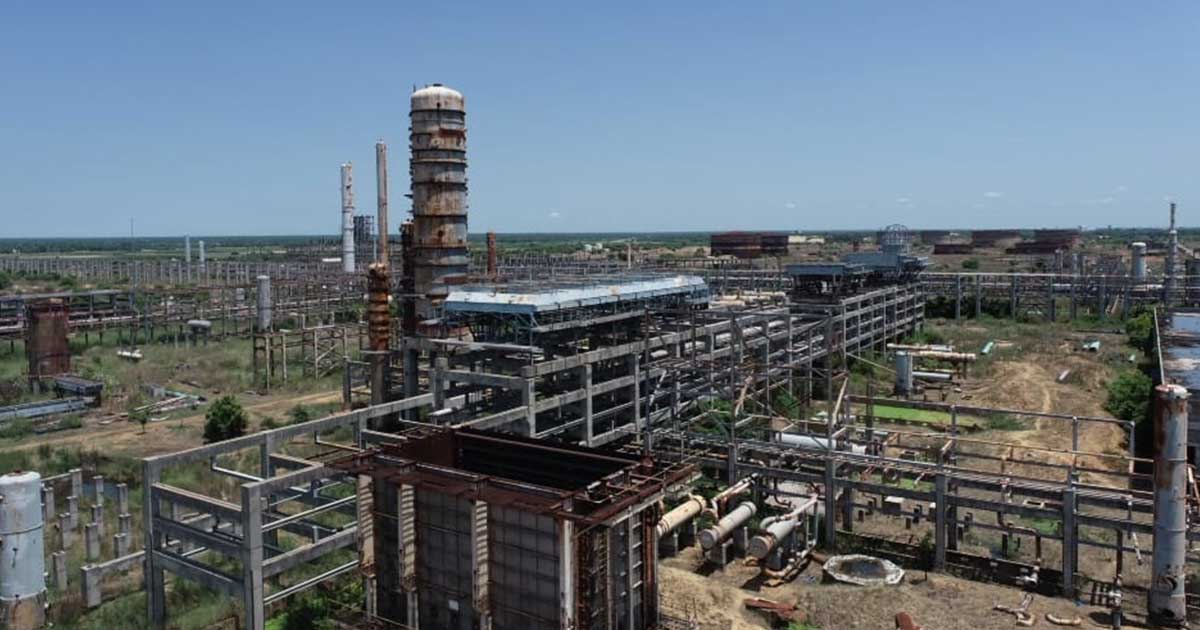
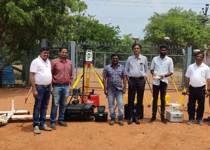
Land & Offshore Surveys Lidar Survey April 15, 2025 Lidar Survey LiDAR survey (Light Detection and Ranging) is a remote sensing method that uses laser light to measure distances and generate precise, three-dimensional information about the shape and surface characteristics of the Earth or objects.