Ask question
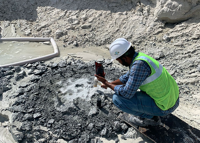
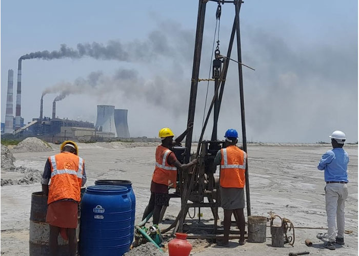
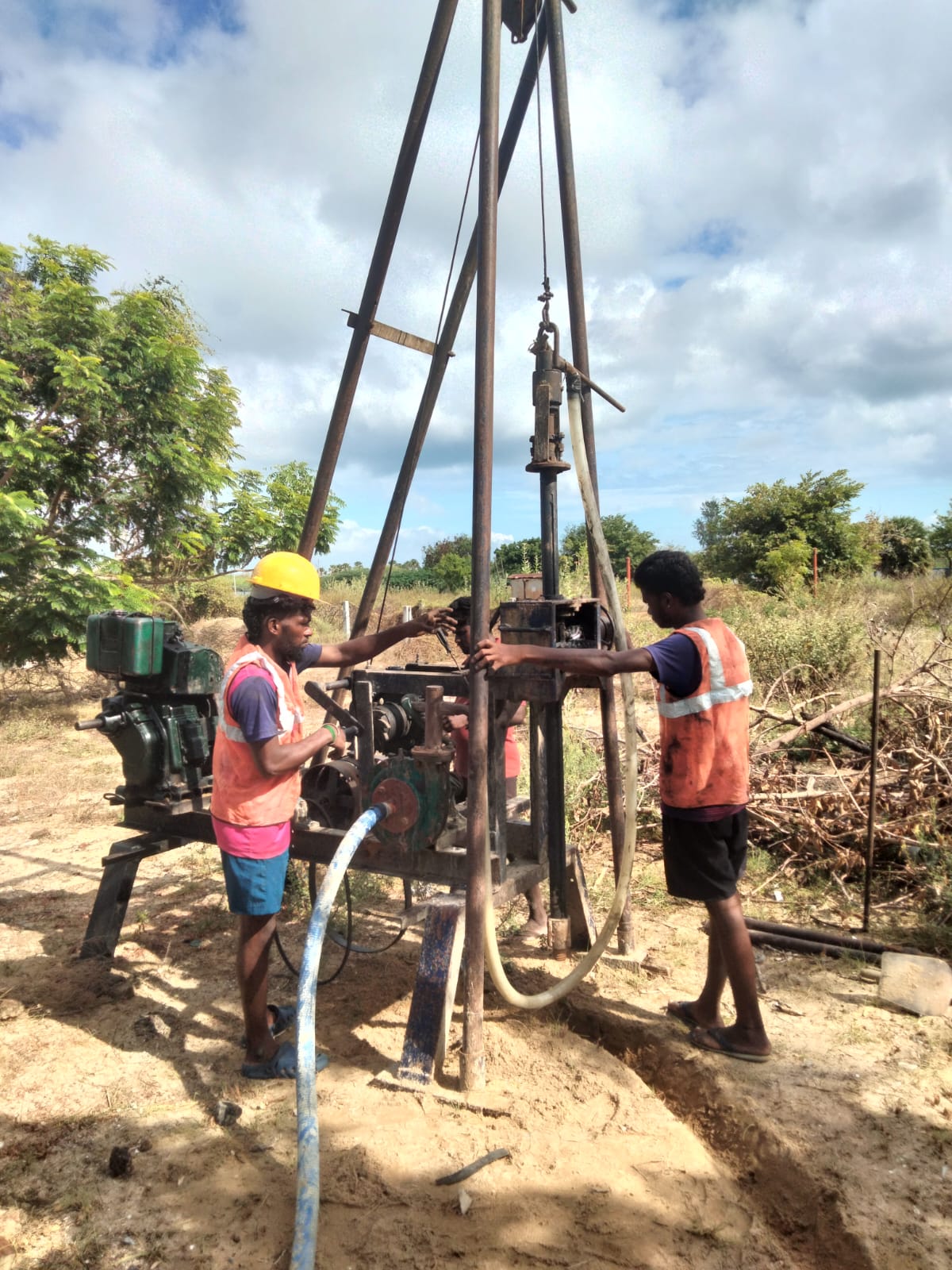
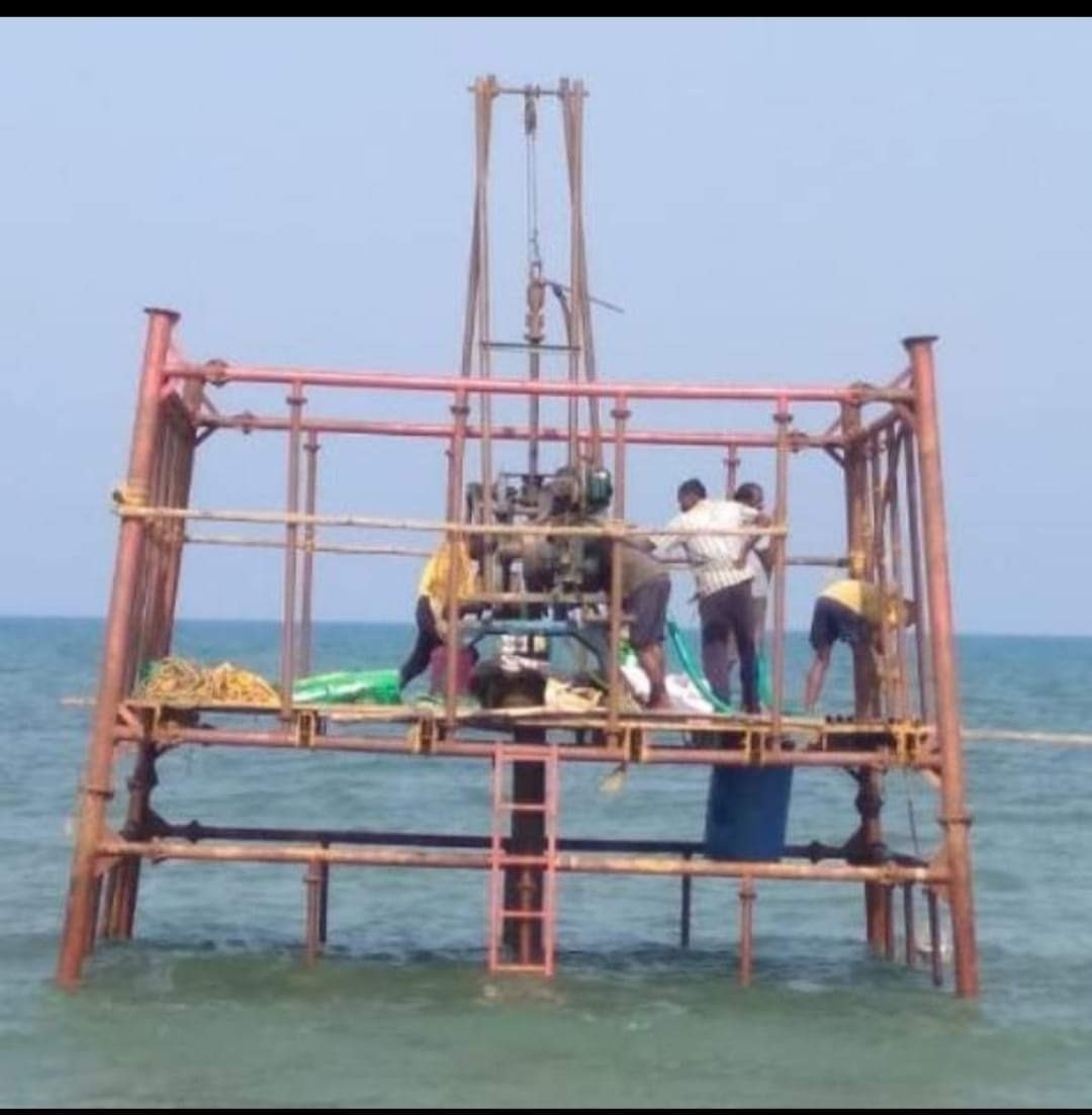
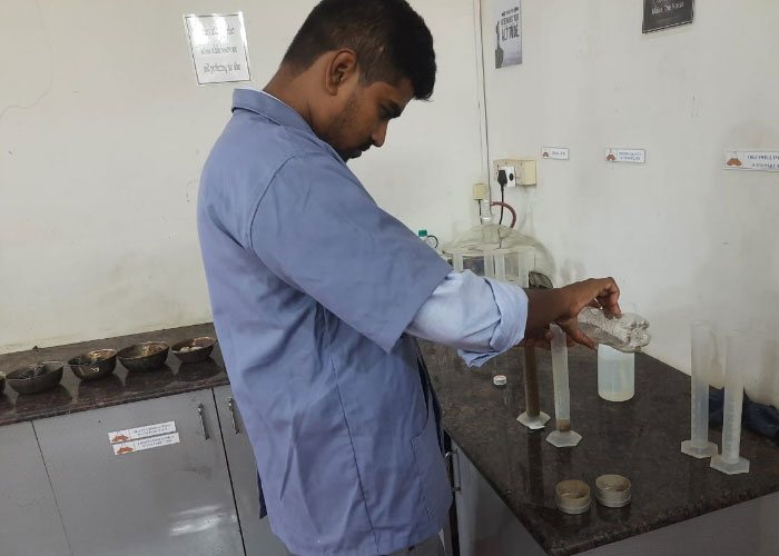
Soil testing or geotechnical investigation is the process of evaluating the physical and engineering properties of soil and rock at a specific site. This is essential to understand the behaviour of the subsurface material upon application of building or structure loads and ensure that the proposed site is safe, stable, and durable for the construction of the structure or building.
Constructing a building without soil testing is highly risky and generally not recommended. Variations in soil strata between two points located just across the street could be large enough to affect the stability & safety of two proposed similar structures near one of the points, therefore, it’s essential that site specific soil investigation is carried out. Soil testing provides critical site-specific data about the site's subsurface conditions, which directly affects the safety, stability, and performance of the structure. From a long term perspective, a thorough geotechnical investigation comes in handy when it is desired in the future to build additional floors or in case of repurposing the building, for example from residential to commercial. In addition to that, a quality geotechnical investigation done by an experienced & qualified geotechnical engineer can significantly lower the overall cost of construction.
Yes, soil testing or geotechnical investigation is often a requirement for obtaining construction approval from regulatory authorities in most regions. It ensures that the proposed construction is safe and compliant with local building codes and standards.
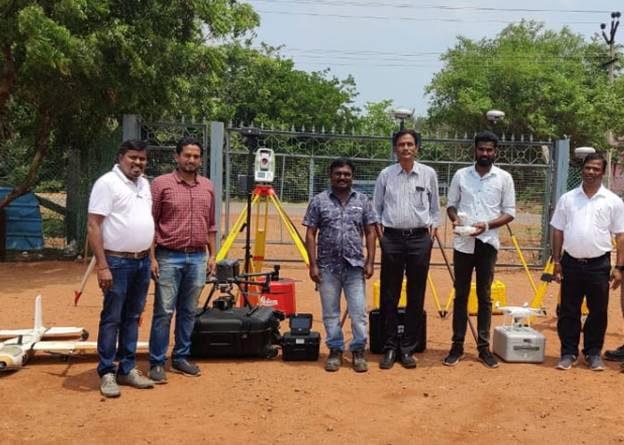
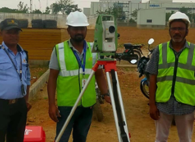
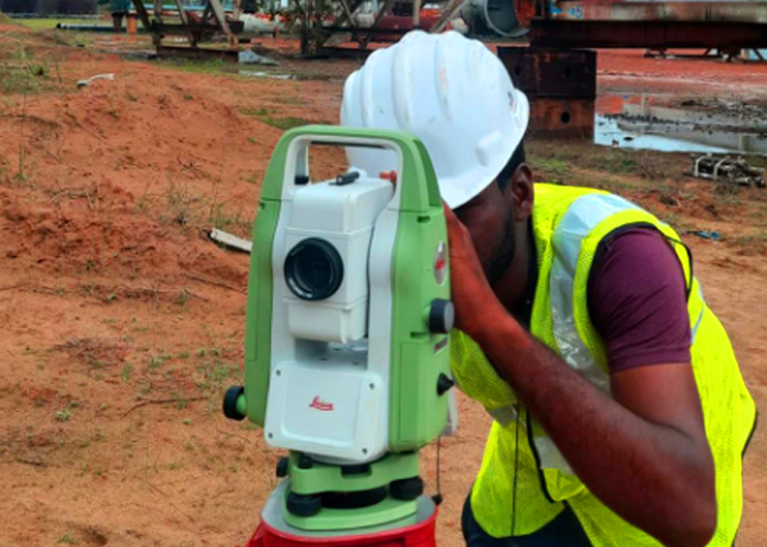
Topographic surveys are performed by experts using specialized equipment. They provide detailed & accurate information about a given piece of land, including: elevation, land forms, natural features (trees, rock outcrops, sand dunes, depressions, waterbodies, etc), man-made features (street poles, buildings, compound walls, transmission towers, etc) and soil height variations.
Topographic surveys are important because they provide accurate information about a land area that helps with efficient planning of land usage for different projects & their applications. Topographical survey can provide valuable inputs for analysing, planning & implementing levelling requirements (cutting & filling). The data from topographical survey is useful to check the general site elevations with respect to Main Sea Level (MSL) & to conduct hydrological study to rule out the possibility of flooding at site that may be caused by unusually high precipitation, sea water intrusion into the land or overflowing nearby water bodies.
A LiDAR (Light Detection and Ranging) survey, uses laser beams to create 3D models of manmade structures and natural formations with reference to a particular coordinate system. It can be used to examine both natural and manmade environments with accuracy and precision. Its applications include land management and planning, hazard assessment, forestry, agriculture, geologic mapping, watershed and river surveys, archaeology, climate monitoring, city planning, and meteorology.
A drone survey, also known as aerial surveying or drone mapping, is a technique that uses drones to collect topographic data in the form of high resolution ortho maps & terrain surface spot levels of a surveyed area. Drones are equipped with high resolution cameras and sensors that capture high-resolution images and other required data.
Aerial surveys are often used for large-scale projects that require accurate collection of data over a wide area covering huge swathes of land in a short time, thus, bringing down the cost of such projects significantly.
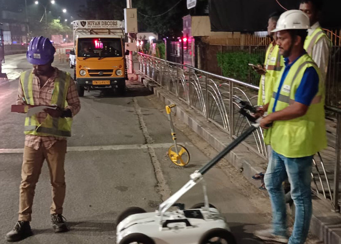
An underground utility survey (GPR) is a non-invasive method that uses radio waves to map and locate underground utilities.
A ground penetrating radar (GPR) underground utility survey uses high-frequency radio waves to map subsurface interfaces and identify objects like pipelines, Cables etc. GPR survey is extremely useful in situations where there is no utility map available for a piece of land with underground utilities & the underground utility network needs to be mapped & located for the redevelopment of the land for other purposes. With conventional means of checking using trial pits, the process can become very tedious & prohibitively expensive particularly if the land in question is a large piece of land. Even for small areas, GPR scanning can be very efficient in terms of time & cost.
Pile Integrity Testing (PIT) is a non-destructive testing method used to evaluate the structural integrity and continuity of deep foundation piles, such as driven piles, drilled shafts, or bored piles.
Pile Integrity test is very important for identifying defects, inconsistencies, or anomalies in piles after installation, ensuring their reliability and safety swiftly & economically.
Non-Destructive Testing (NDT) refers to a range of techniques used to evaluate the properties, integrity, and performance of materials, components, or structures without causing damage or altering their usability. Non-Destructive testing is also utilised in the construction industry as a means to ensure quality control in under construction projects. Non-Destructive tests are key, when it comes to building condition assessment surveys. Building condition surveys can provide important insights into the current health & safety of any building. The most common NDT tests are:
A Building Condition Assessment Survey (BCAS) is a systematic evaluation of a building's physical state, including its structural, architectural, mechanical, and electrical components. This survey helps property owners, engineers, or stakeholders understand the building's current condition, identify maintenance needs, assess safety concerns, and plan for repairs or upgrades.
Yes, geotechnical investigation can help reduce the cost of a construction project in several ways. While it may seem like an additional upfront expense, it provides critical insights that can save money over the long term by preventing costly mistakes, delays, and redesigns. Safe and economical foundation systems can be provided by a geotechnical expert while offering optimised ground improvement solutions wherever possible depending on the site conditions.
Josmar Consulting Engineers was established in the year 2007 by a team of experienced engineers and experts.
© 2025 All rights reserved Josmar Consultings, Designed by Adeptit
WhatsApp us